Exmoor and Dartmoor get mentioned in the same breath, both former Royal hunting forests, both turned into National Parks within three years of each other in the early 1950s, both still grazed under rights that go back centuries. What separates them is the sea: Dartmoor never reaches it, and Exmoor runs straight into the Bristol Channel at the highest sea cliff in England.
How Exmoor differs from Dartmoor
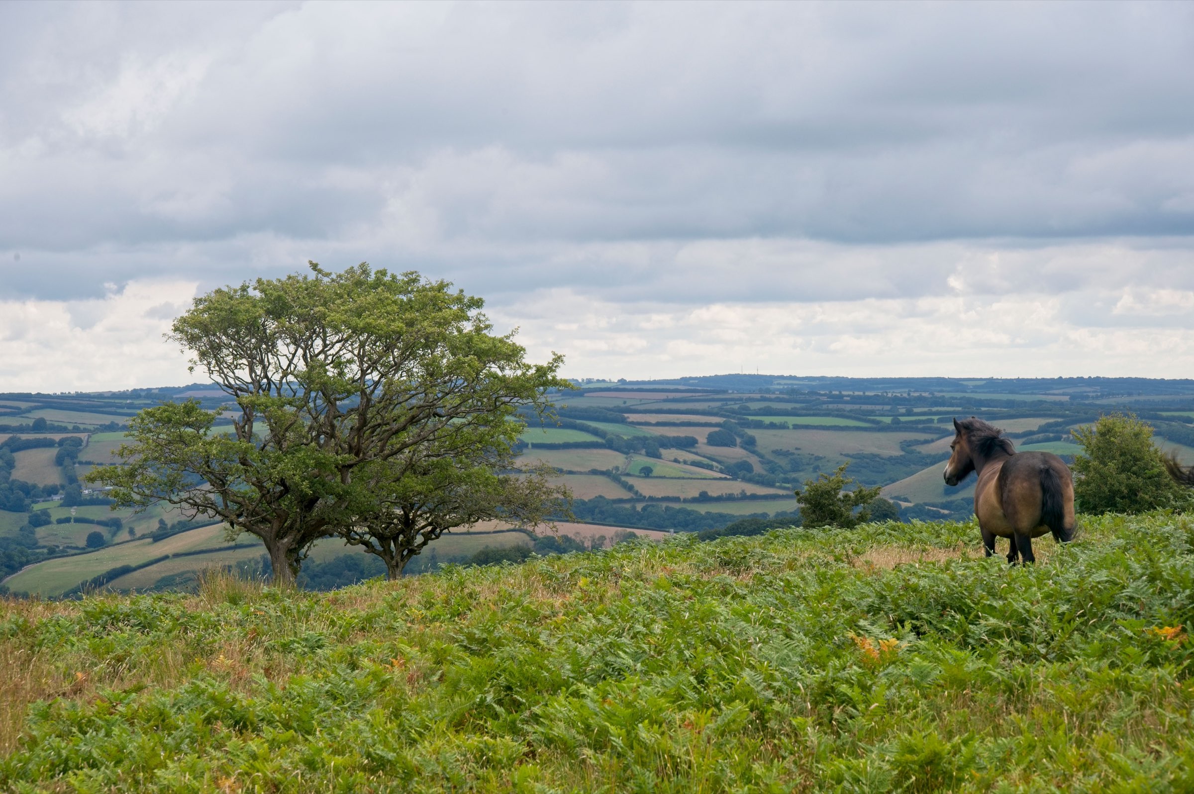
Exmoor is smaller, at around 267 square miles against Dartmoor’s 368, and less exposed underfoot: more grass and heather, less bare granite, fewer of the boggy mires that catch a dog off guard on the higher ground further south. Wild ponies graze here too, an ancient breed considered one of the closest living relatives of Europe’s prehistoric wild horses. Around twenty separate herds live on the moor today, owned by various landowners and checked over every autumn, much as they have been for generations. That continuity nearly ended: by the end of the Second World War, no more than fifty Exmoor ponies survived anywhere, and it took decades of dedicated breeding to rebuild the population to the roughly 3,500 alive today. England’s largest wild red deer herd moves across the same ground, descended from stock that was protected for centuries specifically so the reigning monarch would never run short of venison, back when Exmoor was still a Royal Forest rather than a national park.
Weather, and a sky with nothing in the way
The same general caution applies here as on any high, exposed moor: a clear morning doesn’t guarantee a clear afternoon, and mist closes in fast on higher ground. Exmoor’s remoteness cuts the other way after dark, though. It was named Europe’s first International Dark Sky Reserve in 2011, precisely because so few people live here that light pollution barely exists, which makes the moor an entirely different place after sunset than it is at midday.
The coastal-edge route
The coast path along Exmoor’s northern edge climbs to Great Hangman, near Combe Martin, the highest sea cliff in England at 318 metres and the single highest point anywhere on the 630-mile South West Coast Path, not just the stretch through this county. Little Hangman, its smaller neighbour at 218 metres, marks the actual boundary of the national park before the path drops back toward the village. A there-and-back walk to the top runs about three and a half miles, steep both ways and entirely exposed to the wind off the Bristol Channel, worth treating as its own day’s walk rather than an add-on to something gentler.
The same coastline is unusually sheltered lower down, which is the reason the woods between Foreland Point and Porlock have grown into the longest run of coastal woodland anywhere in England or Wales. It’s a striking contrast within a couple of miles: bare, wind-scoured cliff at the top, dense ancient woodland tucked in below it.
The inland moor route
Inland, Dunkery Beacon is the highest point on the moor at 519 metres, with Bronze Age burial cairns along the ridge that predate the path up to them by several thousand years. On a clear day the view reaches across the Bristol Channel to Wales, which puts the whole of the coastal walk into perspective from the opposite direction. Simonsbath, a few miles further in, was the administrative heart of the old Royal Forest and is still about as central as the moor gets today.
Tarr Steps, the clapper bridge over the River Barle near Simonsbath, is built the same way Dartmoor’s Postbridge is, slabs of stone laid across the water with nothing but their own weight holding them down. It has been swept away and rebuilt more times than anyone’s bothered to count precisely, most recently after floods in 2012, 2016 and 2017, and once dramatically enough in the winter of 1941 that the Royal Engineers had to help put it back together. Nobody can date the original construction with any confidence either, estimates range from medieval to Bronze Age depending on who’s asked. Local legend blames the Devil for building it in the first place, and claims he still holds sunbathing rights on the stones.
The Doone Valley, a few miles further west, is the actual place behind a novel: R.D. Blackmore’s 1869 Lorna Doone is set here, and the valley still looks enough like his description that readers of the book still come looking for the same view he wrote about.
Livestock and pony etiquette
Livestock and pony etiquette here follows the same rules as Dartmoor: keep the lead on when stock is in view, don’t feed the ponies however tame they look, and give a wide berth rather than a confident stride past.
Where to base yourself
Exmoor sits within reach of the wider Devon collection we curate, close enough to combine with a day on Dartmoor without needing to move accommodation between the two. They’re both moor, both grazed the same way, both worth the same lead discipline around livestock, but they don’t feel like the same place once you’re actually standing on either one.