The South West Coast Path wasn’t built for anyone to enjoy the view. It was built so a coastguard on foot could see into every cove along this coast well enough to spot a smuggler unloading a boat before he got away with it, which is the reason the path clings so tightly to the water instead of taking the shorter route inland that any sensible road would have chosen, and the reason a short map distance on this path so rarely means a short walk.
Why the path never takes the direct route
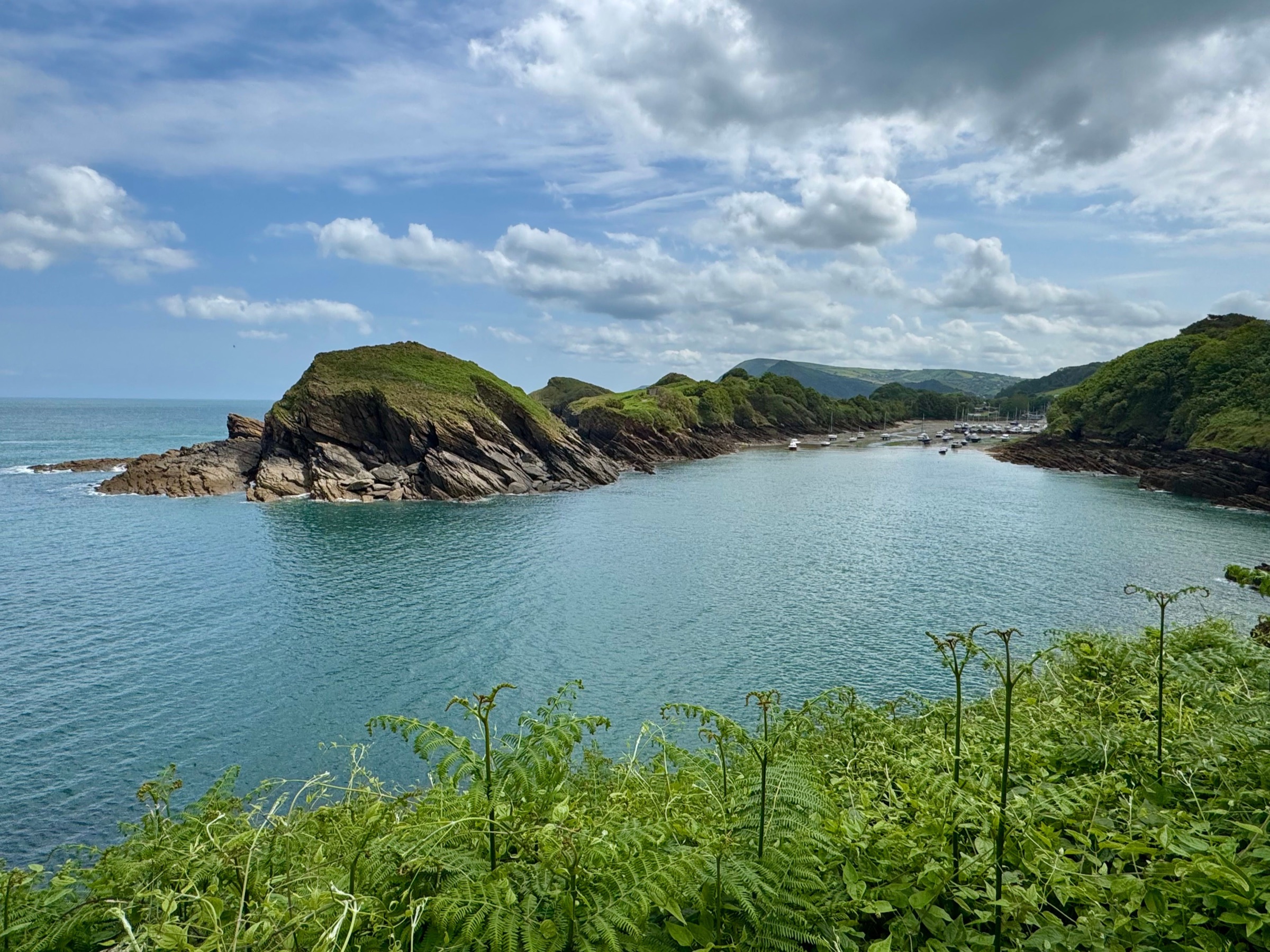
A dedicated Coastguard Service patrolled this coast on foot through the nineteenth century, walking the same beat from one lighthouse to the next, hugging every inlet closely enough to look straight down into it rather than cutting across headlands the way a direct route would. That single habit, needing to see into every cove rather than get somewhere quickly, is the entire reason the coast path still winds and climbs the way it does today. A few of their old cottages still stand at intervals along the route, Hele Bay near Ilfracombe among them, most now holiday lets rather than working stations, a coastguard’s actual front door, still visible from the coast path, that anyone walking with a dog on this stretch passes right by.
Beer, and the Rob Roy of the West
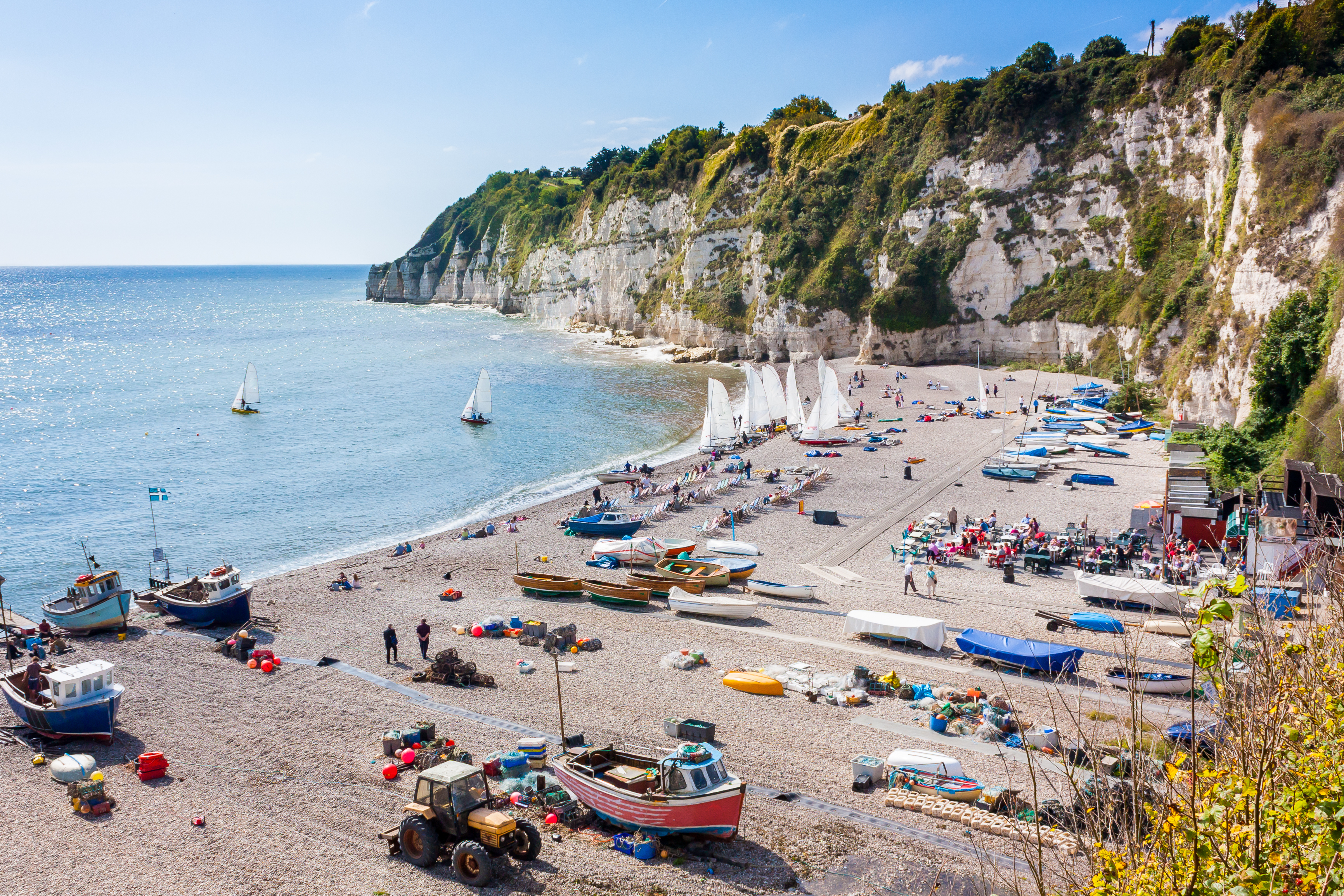
Beer, on the Devon stretch of this same coast, was smuggling country in the most literal sense. Jack Rattenbury, born there in 1778 and known locally as the Rob Roy of the West, ran his own operation out of the Beer Quarry Caves, buying spirits in the Channel Islands and sinking the tubs off the coast here to collect once it was safe, an actual smuggler’s cove rather than a figure of speech. The trade he made his living from wound down after 1815, once the patrols this path is built from had grown too consistent to outrun.
From a smuggler’s beat to a path anyone can walk
Once the smuggling era wound down, the coast path itself didn’t disappear. Fishermen kept walking sections of it to watch for shoals and check the weather, and the coastguard’s old beat slowly became a public route by use rather than by any formal decision, eventually joined into a single continuous trail and formally opened as a National Trail in 1978. The full 630 miles runs from Minehead, on the edge of Exmoor, to Poole Harbour in Dorset, which means the South West Coast Path now runs directly through every one of the four regions covered in this collection, without a single gap.
What that history means for walking with a dog today
None of that history is background trivia once you’re actually walking a stretch of it with a dog. The total climb across the full 630 miles adds up to more than 115,000 feet of ascent, roughly the equivalent of climbing Snowdon forty-eight times over, and every foot of it is a headland a coastguard once needed to see round or a cove he needed a clear line into. That’s why a coast path walk rarely settles into a flat, steady rhythm the way an inland trail might: up onto a headland, down into a cove, up again, over and over, a dog covering considerably more actual ground than the straight-line distance on a map ever suggests.
Walking any stretch of it today with a dog means walking the coastguard’s actual beat rather than a route designed afterward for the purpose, in the same coves that once hid a smuggler’s brandy above Beer.